A6 near Buxworth
Introduction
The photograph on this page of A6 near Buxworth by Stephen McKay as part of the Geograph project.
The Geograph project started in 2005 with the aim of publishing, organising and preserving representative images for every square kilometre of Great Britain, Ireland and the Isle of Man.

There are currently over 7.5m images from over 14,400 individuals and you can help contribute to the project by visiting https://www.geograph.org.uk
A6 near Buxworth
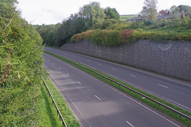
Image: © Stephen McKay Taken: 17 Oct 2023
This stretch of the A6 was built in 1987 as a by-pass for Whaley Bridge and Chapel-en-le-Frith. It seems oddly bereft of vehicles in this Tuesday lunchtime view.
Images are licensed for reuse under creativecommons.org/licenses/by-sa/2.0
Image Location
Latitude
53.334545
Longitude
-1.968576