Site of Nuttall Mill
Introduction
The photograph on this page of Site of Nuttall Mill by Kevin Waterhouse as part of the Geograph project.
The Geograph project started in 2005 with the aim of publishing, organising and preserving representative images for every square kilometre of Great Britain, Ireland and the Isle of Man.

There are currently over 7.5m images from over 14,400 individuals and you can help contribute to the project by visiting https://www.geograph.org.uk
Site of Nuttall Mill
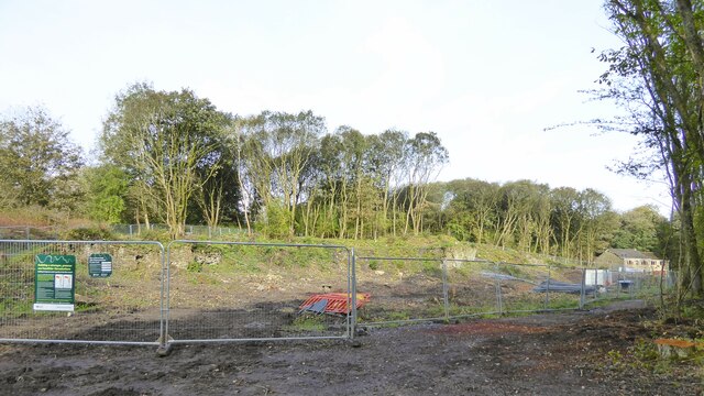
Image: © Kevin Waterhouse Taken: 17 Oct 2023
With some remediation work being carried out by United Utilities to protect the near by River Irwell
Images are licensed for reuse under creativecommons.org/licenses/by-sa/2.0
Image Location
Latitude
53.637683
Longitude
-2.311067