River Severn at Shrewsbury
Introduction
The photograph on this page of River Severn at Shrewsbury by Malc McDonald as part of the Geograph project.
The Geograph project started in 2005 with the aim of publishing, organising and preserving representative images for every square kilometre of Great Britain, Ireland and the Isle of Man.

There are currently over 7.5m images from over 14,400 individuals and you can help contribute to the project by visiting https://www.geograph.org.uk
River Severn at Shrewsbury
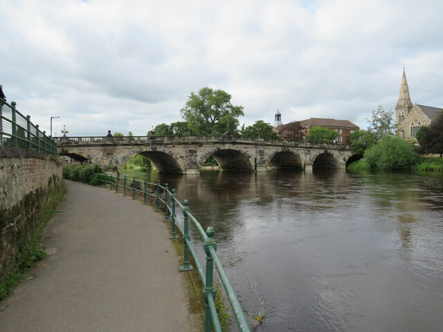
Image: © Malc McDonald Taken: 3 Aug 2023
A view of the River Severn flowing through the town of Shrewsbury, looking towards English Bridge. The path in the foreground is on the route of the Severn Way and Shropshire Way long distance paths.
Images are licensed for reuse under creativecommons.org/licenses/by-sa/2.0
Image Location
Latitude
52.705826
Longitude
-2.747806