Stone Road, Stafford, looking south
Introduction
The photograph on this page of Stone Road, Stafford, looking south by Rod Grealish as part of the Geograph project.
The Geograph project started in 2005 with the aim of publishing, organising and preserving representative images for every square kilometre of Great Britain, Ireland and the Isle of Man.

There are currently over 7.5m images from over 14,400 individuals and you can help contribute to the project by visiting https://www.geograph.org.uk
Stone Road, Stafford, looking south
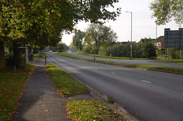
Image: © Rod Grealish Taken: 17 Oct 2023
A section of the Stone Road (A34) in Stafford. The Redhill roundabout is behind the photographer. The road become a single carriageway just beyond the curve to the right. The single carriageway section can just be made out in the background beyond the northbound carriageway. The start of Crab Lane is visible on the right leaving the northbound carriageway,
Images are licensed for reuse under creativecommons.org/licenses/by-sa/2.0
Image Location
Latitude
52.829562
Longitude
-2.130419