Former route of the A177 road south of Sedgefield
Introduction
The photograph on this page of Former route of the A177 road south of Sedgefield by David Robinson as part of the Geograph project.
The Geograph project started in 2005 with the aim of publishing, organising and preserving representative images for every square kilometre of Great Britain, Ireland and the Isle of Man.

There are currently over 7.5m images from over 14,400 individuals and you can help contribute to the project by visiting https://www.geograph.org.uk
Former route of the A177 road south of Sedgefield
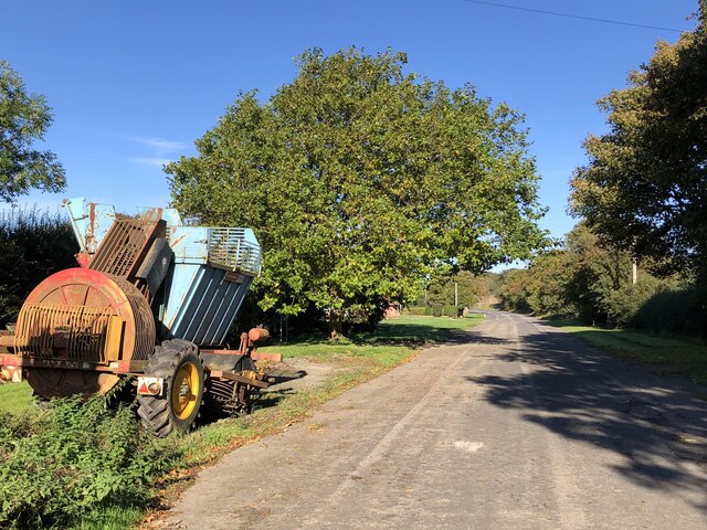
Image: © David Robinson Taken: 12 Oct 2023
This now un-numbered spur of road provides access to adjacent farms. Prior to the construction of the bypass on the southern fringe of Sedgefield in 1969, this was part of the A177 Durham - Stockton route that passed through the centre of the town.
Images are licensed for reuse under creativecommons.org/licenses/by-sa/2.0
Image Location
Latitude
54.647414
Longitude
-1.436197