Former sheepfold, Edenhall
Introduction
The photograph on this page of Former sheepfold, Edenhall by Christine Johnstone as part of the Geograph project.
The Geograph project started in 2005 with the aim of publishing, organising and preserving representative images for every square kilometre of Great Britain, Ireland and the Isle of Man.

There are currently over 7.5m images from over 14,400 individuals and you can help contribute to the project by visiting https://www.geograph.org.uk
Former sheepfold, Edenhall
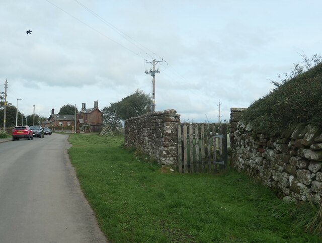
Image: © Christine Johnstone Taken: 17 Oct 2023
Now a kitchen garden. Shown and names as a sheepfold on the large scale OS map surveyed in 1860.
Images are licensed for reuse under creativecommons.org/licenses/by-sa/2.0
Image Location
Latitude
54.686653
Longitude
-2.675347