Cycle path following route of former railway
Introduction
The photograph on this page of Cycle path following route of former railway by Kevin Waterhouse as part of the Geograph project.
The Geograph project started in 2005 with the aim of publishing, organising and preserving representative images for every square kilometre of Great Britain, Ireland and the Isle of Man.

There are currently over 7.5m images from over 14,400 individuals and you can help contribute to the project by visiting https://www.geograph.org.uk
Cycle path following route of former railway
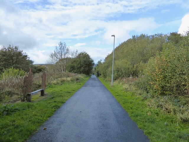
Image: © Kevin Waterhouse Taken: 14 Oct 2023
The route known as Padiham Greenway is on an embankment crossing Green Brook which is in a culvert. The iron figures in the public artwork by the side of the route are on top of the culvert position.
Images are licensed for reuse under creativecommons.org/licenses/by-sa/2.0
Image Location
Latitude
53.793555
Longitude
-2.304174