Church Farm, Church Lane, Nursling
Introduction
The photograph on this page of Church Farm, Church Lane, Nursling by Tim Heaton as part of the Geograph project.
The Geograph project started in 2005 with the aim of publishing, organising and preserving representative images for every square kilometre of Great Britain, Ireland and the Isle of Man.

There are currently over 7.5m images from over 14,400 individuals and you can help contribute to the project by visiting https://www.geograph.org.uk
Church Farm, Church Lane, Nursling
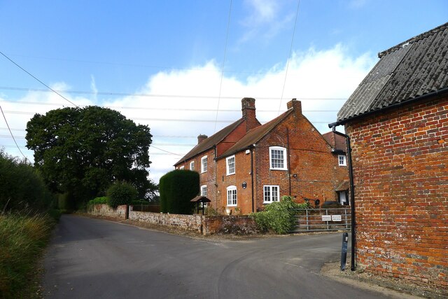
Image: © Tim Heaton Taken: 10 Oct 2023
Listed Grade II, "possibly of late-medieval origin as a timber-framed hall ... " https://historicengland.org.uk/listing/the-list/list-entry/1093671?section=official-list-entry . 'Nursling' means "'Nut-shell place'. The 8th century Benedictine monastery here was apparently called 'the Nutshell'." http://kepn.nottingham.ac.uk/map/place/Hampshire/Nursling
Images are licensed for reuse under creativecommons.org/licenses/by-sa/2.0
Image Location
Latitude
50.946535
Longitude
-1.4858