Fishing lake, Englefield
Introduction
The photograph on this page of Fishing lake, Englefield by Andrew Smith as part of the Geograph project.
The Geograph project started in 2005 with the aim of publishing, organising and preserving representative images for every square kilometre of Great Britain, Ireland and the Isle of Man.

There are currently over 7.5m images from over 14,400 individuals and you can help contribute to the project by visiting https://www.geograph.org.uk
Fishing lake, Englefield
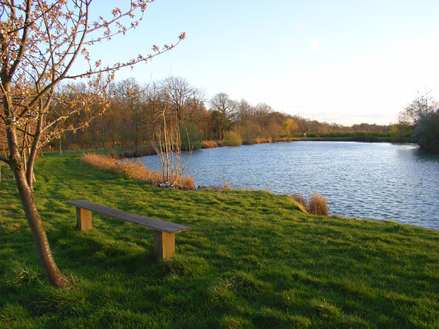
Image: © Andrew Smith Taken: 11 Apr 2008
Ufton Wood is to the left. The lake is on old gravel workings and hasn't yet made it onto the 1:25000 map.
Images are licensed for reuse under creativecommons.org/licenses/by-sa/2.0
Image Location
Latitude
51.431118
Longitude
-1.12249