Pipp Brook Place, Westcott
Introduction
The photograph on this page of Pipp Brook Place, Westcott by Des Blenkinsopp as part of the Geograph project.
The Geograph project started in 2005 with the aim of publishing, organising and preserving representative images for every square kilometre of Great Britain, Ireland and the Isle of Man.

There are currently over 7.5m images from over 14,400 individuals and you can help contribute to the project by visiting https://www.geograph.org.uk
Pipp Brook Place, Westcott
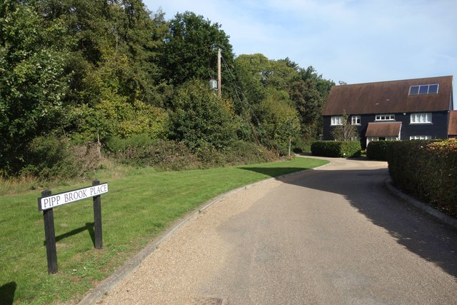
Image: © Des Blenkinsopp Taken: 9 Oct 2023
Leading to recent housing on the northern edge of Westcott village. The Pipp Brook is in the trees on the left. It is a tributary of the River Mole, around 9 kms long.
Images are licensed for reuse under creativecommons.org/licenses/by-sa/2.0
Image Location
Latitude
51.228566
Longitude
-0.370288