Site of former benchmark
Introduction
The photograph on this page of Site of former benchmark by Gerald England as part of the Geograph project.
The Geograph project started in 2005 with the aim of publishing, organising and preserving representative images for every square kilometre of Great Britain, Ireland and the Isle of Man.

There are currently over 7.5m images from over 14,400 individuals and you can help contribute to the project by visiting https://www.geograph.org.uk
Site of former benchmark
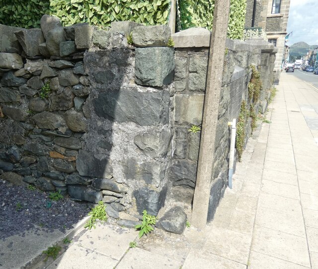
Image: © Gerald England Taken: 12 Jul 2023
In 2017 John S Turner Image recorded an Ordnance Survey bench mark on the south west corner of the former Capel Mawr, Calvinistic Methodist Chapel, High Street, Criccieth. It doesn't appear to be there anymore.
Images are licensed for reuse under creativecommons.org/licenses/by-sa/2.0
Image Location
Latitude
52.919335
Longitude
-4.236072