Vergam Terrace/Y Byrgam
Introduction
The photograph on this page of Vergam Terrace/Y Byrgam by Natasha Ceridwen de Chroustchoff as part of the Geograph project.
The Geograph project started in 2005 with the aim of publishing, organising and preserving representative images for every square kilometre of Great Britain, Ireland and the Isle of Man.

There are currently over 7.5m images from over 14,400 individuals and you can help contribute to the project by visiting https://www.geograph.org.uk
Vergam Terrace/Y Byrgam
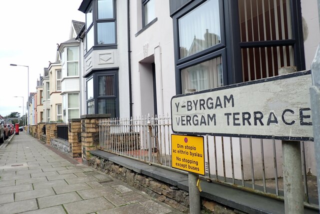
Image: © Natasha Ceridwen de Chroustchoff Taken: 12 Oct 2023
Terrace of bow-fronted houses built when the town was expanding, probably early 20th century. No information appears to exist about the name Vergam but the suggestion has been made that the area could have been known as Y Byr Gam, meaning a short step in Welsh.
Images are licensed for reuse under creativecommons.org/licenses/by-sa/2.0
Image Location
Latitude
51.995853
Longitude
-4.980081