Sellarsbrooke
Introduction
The photograph on this page of Sellarsbrooke by Philip Halling as part of the Geograph project.
The Geograph project started in 2005 with the aim of publishing, organising and preserving representative images for every square kilometre of Great Britain, Ireland and the Isle of Man.

There are currently over 7.5m images from over 14,400 individuals and you can help contribute to the project by visiting https://www.geograph.org.uk
Sellarsbrooke
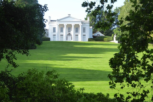
Image: © Philip Halling Taken: 3 Oct 2023
Grand house near the A4o at Ganarew, here viewed from the passing footpath. The house which is Grade II listed https://historicengland.org.uk/listing/the-list/list-entry/1224921?section=official-list-entry was built around 1800 with the Ionic portico added in 1970.
Images are licensed for reuse under creativecommons.org/licenses/by-sa/2.0
Image Location
Latitude
51.848003
Longitude
-2.680949