Stafford Brine Baths [2]
Introduction
The photograph on this page of Stafford Brine Baths [2] by Simon Huguet as part of the Geograph project.
The Geograph project started in 2005 with the aim of publishing, organising and preserving representative images for every square kilometre of Great Britain, Ireland and the Isle of Man.

There are currently over 7.5m images from over 14,400 individuals and you can help contribute to the project by visiting https://www.geograph.org.uk
Stafford Brine Baths [2]
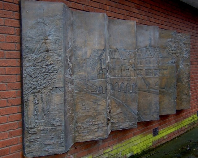
Image: © Simon Huguet Taken: 12 Apr 2008
See also Stafford Royal Brine Baths [1] This is the east side of the 3D memorial to the old Brine Baths, pulled down to make way for the Council offices.
Images are licensed for reuse under creativecommons.org/licenses/by-sa/2.0
Image Location
Latitude
52.804408
Longitude
-2.115065