Southbourne: clifftop view
Introduction
The photograph on this page of Southbourne: clifftop view by Chris Downer as part of the Geograph project.
The Geograph project started in 2005 with the aim of publishing, organising and preserving representative images for every square kilometre of Great Britain, Ireland and the Isle of Man.

There are currently over 7.5m images from over 14,400 individuals and you can help contribute to the project by visiting https://www.geograph.org.uk
Southbourne: clifftop view
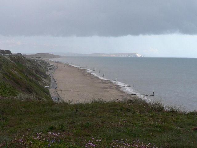
Image: © Chris Downer Taken: 13 Apr 2008
Looking east from the clifftop, by a small section where the road turns inland and there are houses seaward of the road. Hengistbury Head is the headland in the distance, with the Isle of Wight to the right.
Images are licensed for reuse under creativecommons.org/licenses/by-sa/2.0
Image Location


Leaflet Map data © OpenStreetMap
Latitude
50.720983
Longitude
-1.805591