Old Boundary Marker on Red Beck Road
Introduction
The photograph on this page of Old Boundary Marker on Red Beck Road by Colin Smith as part of the Geograph project.
The Geograph project started in 2005 with the aim of publishing, organising and preserving representative images for every square kilometre of Great Britain, Ireland and the Isle of Man.

There are currently over 7.5m images from over 14,400 individuals and you can help contribute to the project by visiting https://www.geograph.org.uk
Old Boundary Marker on Red Beck Road
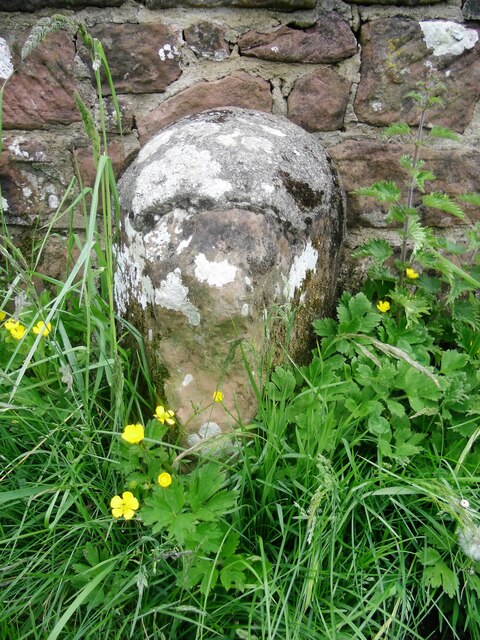
Image: © Colin Smith Taken: 25 May 2016
Parish Boundary Marker against the parapet of the bridge over Hole Beck on the north side of Red Beck Road. On the boundary of Cleator Moor and Arlecdon and Frizington parishes. See also https://www.lakesguides.co.uk/photos/BQI59.jpg. Milestone Society National ID: CU_CLARFR01pb
Images are licensed for reuse under creativecommons.org/licenses/by-sa/2.0
Image Location
Latitude
54.520887
Longitude
-3.493246