Near the road end above Rhosgadfan
Introduction
The photograph on this page of Near the road end above Rhosgadfan by Gordon Hatton as part of the Geograph project.
The Geograph project started in 2005 with the aim of publishing, organising and preserving representative images for every square kilometre of Great Britain, Ireland and the Isle of Man.

There are currently over 7.5m images from over 14,400 individuals and you can help contribute to the project by visiting https://www.geograph.org.uk
Near the road end above Rhosgadfan
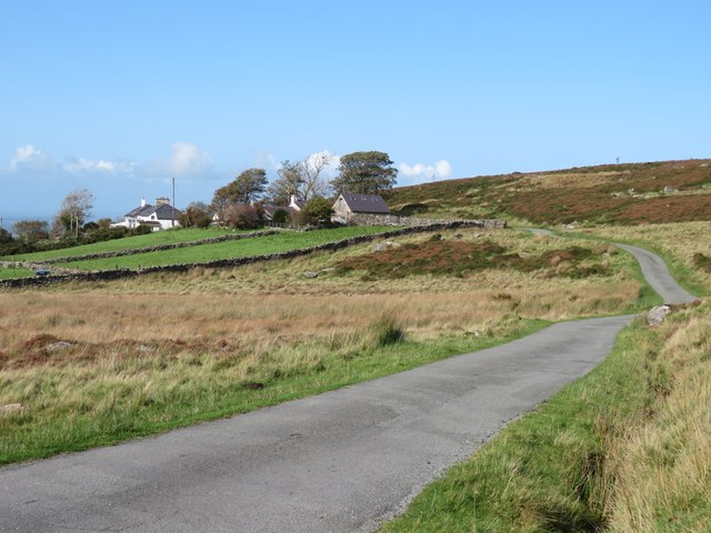
Image: © Gordon Hatton Taken: 26 Sep 2023
The public road extends as far as Hafod Ruffydd Farm, which is seen in the distance.
Images are licensed for reuse under creativecommons.org/licenses/by-sa/2.0
Image Location


Leaflet Map data © OpenStreetMap
Latitude
53.091775
Longitude
-4.212447