Building at Reservoir Farm on north side of B5307
Introduction
The photograph on this page of Building at Reservoir Farm on north side of B5307 by Roger Templeman as part of the Geograph project.
The Geograph project started in 2005 with the aim of publishing, organising and preserving representative images for every square kilometre of Great Britain, Ireland and the Isle of Man.

There are currently over 7.5m images from over 14,400 individuals and you can help contribute to the project by visiting https://www.geograph.org.uk
Building at Reservoir Farm on north side of B5307
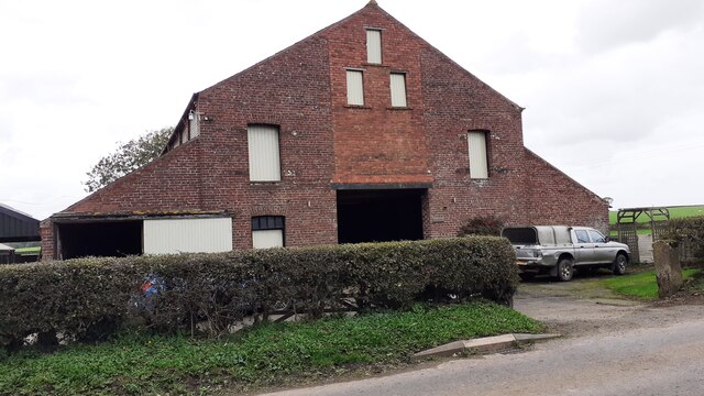
Image: © Roger Templeman Taken: 2 Oct 2023
There is an Ordnance Survey benchmark Image on the front of the building 5m from its right hand corner, behind a shrub
Images are licensed for reuse under creativecommons.org/licenses/by-sa/2.0
Image Location
Latitude
54.899872
Longitude
-3.005138