Marazion - Former Town Well
Introduction
The photograph on this page of Marazion - Former Town Well by Rob Farrow as part of the Geograph project.
The Geograph project started in 2005 with the aim of publishing, organising and preserving representative images for every square kilometre of Great Britain, Ireland and the Isle of Man.

There are currently over 7.5m images from over 14,400 individuals and you can help contribute to the project by visiting https://www.geograph.org.uk
Marazion - Former Town Well
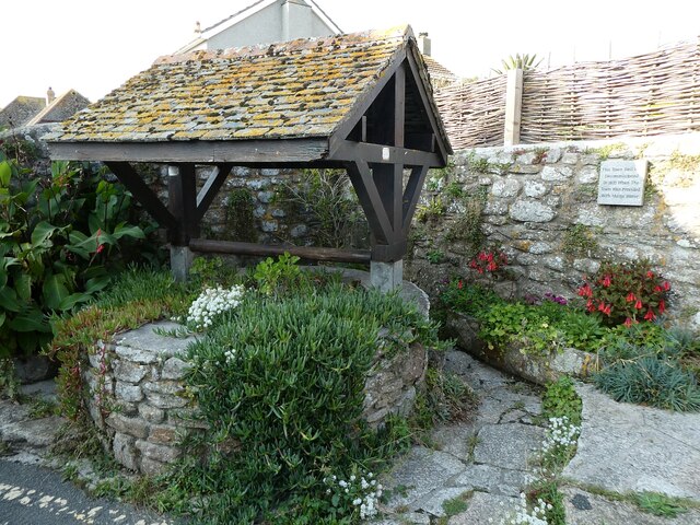
Image: © Rob Farrow Taken: 22 Sep 2023
This is the former Town Well for Marazion, now planted with flowers. The small plaque on the wall beside it states "This Town Well was decommissioned in 1870 when the town was provided with mains water."
Images are licensed for reuse under creativecommons.org/licenses/by-sa/2.0
Image Location
Latitude
50.124146
Longitude
-5.474786