West Bridgford: along the embankment to Trent Bridge
Introduction
The photograph on this page of West Bridgford: along the embankment to Trent Bridge by John Sutton as part of the Geograph project.
The Geograph project started in 2005 with the aim of publishing, organising and preserving representative images for every square kilometre of Great Britain, Ireland and the Isle of Man.

There are currently over 7.5m images from over 14,400 individuals and you can help contribute to the project by visiting https://www.geograph.org.uk
West Bridgford: along the embankment to Trent Bridge
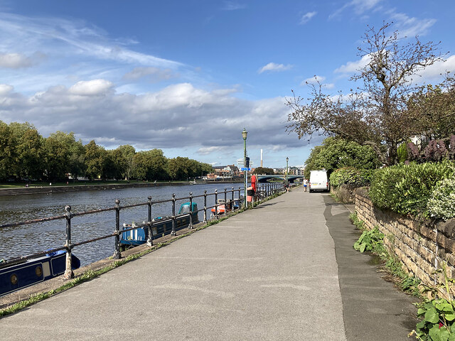
Image: © John Sutton Taken: 26 Sep 2023
The concrete embankment steps on the West Bridgford side of the River Trent match the Victoria Embankment steps on the city side of the River. There had been a lot of rain in the morning, but when this picture was taken just after 2.30 it had become a pleasant late-summer afternoon - and play between Nottinghamshire and Middlesex at Trent Bridge (where I was heading) was due to begin at three o'clock.
Images are licensed for reuse under creativecommons.org/licenses/by-sa/2.0
Image Location
Latitude
52.934383
Longitude
-1.138076