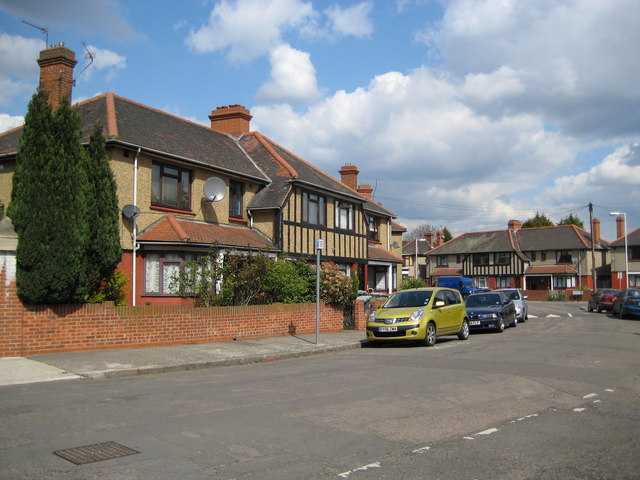
East Ham: Hameway, E6
Introduction
The photograph on this page of East Ham: Hameway, E6 by Nigel Cox as part of the Geograph project.
The Geograph project started in 2005 with the aim of publishing, organising and preserving representative images for every square kilometre of Great Britain, Ireland and the Isle of Man.
There are currently over 7.5m images from over 14,400 individuals and you can help contribute to the project by visiting https://www.geograph.org.uk

Image: © Nigel Cox Taken: 10 Apr 2008
Hameway is an unusual circular road with these half-timbered and partially pebble dashed 1930s houses on both the inside (left) and outside (right) of the circle. Unfortunately the circle is obscured on the Ordnance Survey's 1:50,000 scale mapping with the word 'Cemy' for the nearby Image, but it shows up well on the 1:25,000 scale. This latter mapping also shows that the rear gardens of the houses on the inner side do not all meet at a point but that there is a communal green in the centre of the circle.

