Claydon - Courtyard to the house
Introduction
The photograph on this page of Claydon - Courtyard to the house by Rob Farrow as part of the Geograph project.
The Geograph project started in 2005 with the aim of publishing, organising and preserving representative images for every square kilometre of Great Britain, Ireland and the Isle of Man.

There are currently over 7.5m images from over 14,400 individuals and you can help contribute to the project by visiting https://www.geograph.org.uk
Claydon - Courtyard to the house
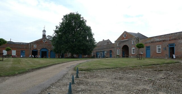
Image: © Rob Farrow Taken: 16 Sep 2023
The splendid courtyard immediately to the east of Image] is surrounded on three sides by the former stable block which now houses various shops and boutiques as well as a small café for visitors to the National Trust site. See their own website which has details of all the outlets, spas etc. https://claydonestate.co.uk/claydon-courtyard/eat/stables The stable block is separately EH Grade II listed: https://historicengland.org.uk/listing/the-list/list-entry/1214707?section=official-list-entry
Images are licensed for reuse under creativecommons.org/licenses/by-sa/2.0
Image Location
Latitude
51.921577
Longitude
-0.954463