Meadow, Middlemarsh
Introduction
The photograph on this page of Meadow, Middlemarsh by Derek Harper as part of the Geograph project.
The Geograph project started in 2005 with the aim of publishing, organising and preserving representative images for every square kilometre of Great Britain, Ireland and the Isle of Man.

There are currently over 7.5m images from over 14,400 individuals and you can help contribute to the project by visiting https://www.geograph.org.uk
Meadow, Middlemarsh
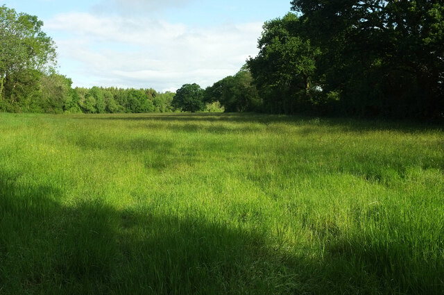
Image: © Derek Harper Taken: 24 May 2022
A reverse view of Image], back along the field bounded by a bosky field boundary on the right, and a succession of adjoining woods on the left; the principal one visible from here left of centre in the distance, is Black Wood. Bridleway S31 28 runs up this meadow.
Images are licensed for reuse under creativecommons.org/licenses/by-sa/2.0
Image Location
Latitude
50.861014
Longitude
-2.471667