Nottingham Canal Information Board
Introduction
The photograph on this page of Nottingham Canal Information Board by David Lally as part of the Geograph project.
The Geograph project started in 2005 with the aim of publishing, organising and preserving representative images for every square kilometre of Great Britain, Ireland and the Isle of Man.

There are currently over 7.5m images from over 14,400 individuals and you can help contribute to the project by visiting https://www.geograph.org.uk
Nottingham Canal Information Board
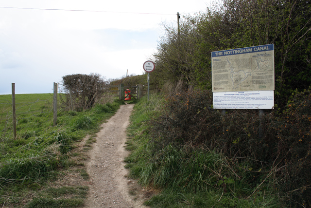
Image: © David Lally Taken: 12 Apr 2008
At a relatively prominent spot, but not exactly next to the canal; that's round the side of the Garden Centre. The path is part of the Robin Hood Way.
Images are licensed for reuse under creativecommons.org/licenses/by-sa/2.0
Image Location
Latitude
52.949213
Longitude
-1.272178