Manor Farm, Cottingley
Introduction
The photograph on this page of Manor Farm, Cottingley by Humphrey Bolton as part of the Geograph project.
The Geograph project started in 2005 with the aim of publishing, organising and preserving representative images for every square kilometre of Great Britain, Ireland and the Isle of Man.

There are currently over 7.5m images from over 14,400 individuals and you can help contribute to the project by visiting https://www.geograph.org.uk
Manor Farm, Cottingley
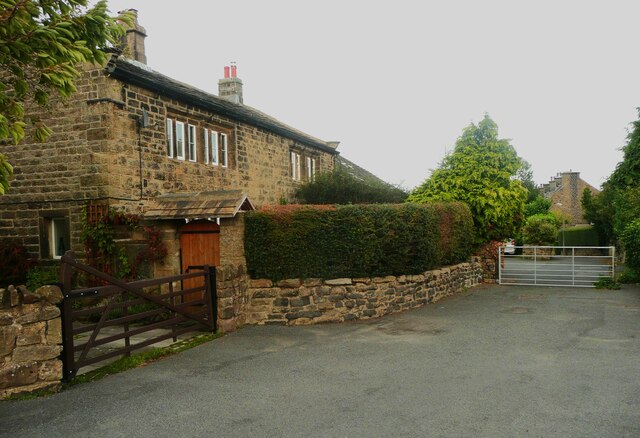
Image: © Humphrey Bolton Taken: 25 Sep 2023
This former farmhouse, now surrounded by suburban housing, was built in the 17C and 18C, and is listed, Grade II. The gate is at the top of Main Street, and is locked, making the street a cul-de-sac.
Images are licensed for reuse under creativecommons.org/licenses/by-sa/2.0
Image Location


Leaflet Map data © OpenStreetMap
Latitude
53.828237
Longitude
-1.824791