Anchor Street, Watchet
Introduction
The photograph on this page of Anchor Street, Watchet by Martin Tester as part of the Geograph project.
The Geograph project started in 2005 with the aim of publishing, organising and preserving representative images for every square kilometre of Great Britain, Ireland and the Isle of Man.

There are currently over 7.5m images from over 14,400 individuals and you can help contribute to the project by visiting https://www.geograph.org.uk
Anchor Street, Watchet
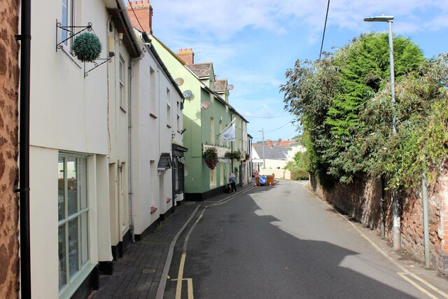
Image: © Martin Tester Taken: 23 Sep 2023
The green-painted building, once the Anchor Inn, is now the Radio Museum, see: http://www.orbem.co.uk/watchet/watchet_museum.htm. The museum had been relocated from its original site at Washford c2015.
Images are licensed for reuse under creativecommons.org/licenses/by-sa/2.0
Image Location


Leaflet Map data © OpenStreetMap
Latitude
51.180812
Longitude
-3.330904