Old Boundary Marker on the B6165 at Rock Farm
Introduction
The photograph on this page of Old Boundary Marker on the B6165 at Rock Farm by T Exley as part of the Geograph project.
The Geograph project started in 2005 with the aim of publishing, organising and preserving representative images for every square kilometre of Great Britain, Ireland and the Isle of Man.

There are currently over 7.5m images from over 14,400 individuals and you can help contribute to the project by visiting https://www.geograph.org.uk
Old Boundary Marker on the B6165 at Rock Farm
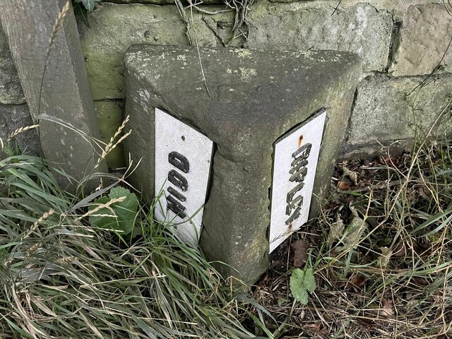
Image: © T Exley Taken: 24 Sep 2023
Parish Boundary Marker against the stone wall of Rock Farm on the south side of the B6165. On the boundary of Ripley and Nidd parishes. Milestone Society National ID: YW_RIPNID01pb
Images are licensed for reuse under creativecommons.org/licenses/by-sa/2.0
Image Location
Latitude
54.034432
Longitude
-1.555075