The City: Magnus Magnusson time (108)
Introduction
The photograph on this page of The City: Magnus Magnusson time (108) by Basher Eyre as part of the Geograph project.
The Geograph project started in 2005 with the aim of publishing, organising and preserving representative images for every square kilometre of Great Britain, Ireland and the Isle of Man.

There are currently over 7.5m images from over 14,400 individuals and you can help contribute to the project by visiting https://www.geograph.org.uk
The City: Magnus Magnusson time (108)
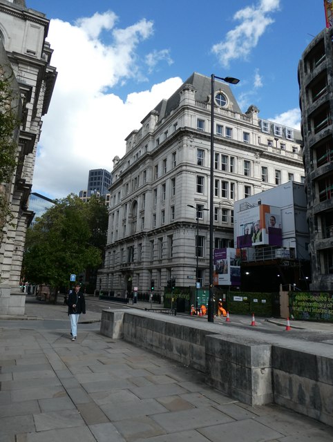
Image: © Basher Eyre Taken: 23 Sep 2023
Bottom end of King Edward Street [North out of Newgate Street, at No. 82 to Little Britain (P.O. Directory). In Aldersgate Ward and Farringdon Ward Within. So named 1843. ¶Former names : "Stinking lane" or "Chicke lane" (S. 318). "Stinkendelane," 1285 (MS. D. and C. St. Paul's, Lib. L. fo. 93). "Stukande lane," 3 Ed. I. (Rot. Hund. I. 404). "Fowle lane or Chickine lann," 1546-1617 (Trans. L. and M. Arch. Soc. V. 421). "Butcher Hall Lane" (Stow, ed. 1633-Elmes, 1831). In Horwood the northern portion into Little Britain is called "Blue Coat Buildings," and in Rocque "New Passage." In these maps and in O. and M. "Butcher Hall Lane" ends at "Bull and Mouth Street." Called "Butcher Hall lane" as having the Butchers' Hall in it. "Stinking lane" on account of the smell of the slain carcasses. Excavations made for building in 1842 revealed that the site had at one time been used as a Roman burial place and must at that period have been outside the City walls. In Henry A Harben, 'Katones Lane - King Street', in A Dictionary of London (London, 1918)]
Images are licensed for reuse under creativecommons.org/licenses/by-sa/2.0
Image Location
Latitude
51.515655
Longitude
-0.098762