B4220 at Holling's Hill
Introduction
The photograph on this page of B4220 at Holling's Hill by Trevor Rickard as part of the Geograph project.
The Geograph project started in 2005 with the aim of publishing, organising and preserving representative images for every square kilometre of Great Britain, Ireland and the Isle of Man.

There are currently over 7.5m images from over 14,400 individuals and you can help contribute to the project by visiting https://www.geograph.org.uk
B4220 at Holling's Hill
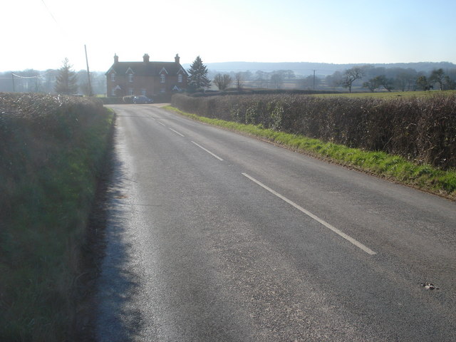
Image: © Trevor Rickard Taken: 11 Feb 2008
View south-west to the bend in the road where the entrance to Holling's Hill Farm bears off to the right.
Images are licensed for reuse under creativecommons.org/licenses/by-sa/2.0
Image Location


Leaflet Map data © OpenStreetMap
Latitude
52.107558
Longitude
-2.411853