Erewash Canal in Sandiacre
Introduction
The photograph on this page of Erewash Canal in Sandiacre by David Lally as part of the Geograph project.
The Geograph project started in 2005 with the aim of publishing, organising and preserving representative images for every square kilometre of Great Britain, Ireland and the Isle of Man.

There are currently over 7.5m images from over 14,400 individuals and you can help contribute to the project by visiting https://www.geograph.org.uk
Erewash Canal in Sandiacre
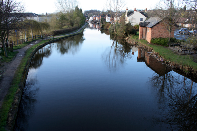
Image: © David Lally Taken: 11 Apr 2008
The canal widens to a small basin as it passes under the bridge on Station Road. This is looking South towards Long Eaton.
Images are licensed for reuse under creativecommons.org/licenses/by-sa/2.0
Image Location
Latitude
52.922251
Longitude
-1.288099