Path following route of former canal
Introduction
The photograph on this page of Path following route of former canal by Kevin Waterhouse as part of the Geograph project.
The Geograph project started in 2005 with the aim of publishing, organising and preserving representative images for every square kilometre of Great Britain, Ireland and the Isle of Man.

There are currently over 7.5m images from over 14,400 individuals and you can help contribute to the project by visiting https://www.geograph.org.uk
Path following route of former canal
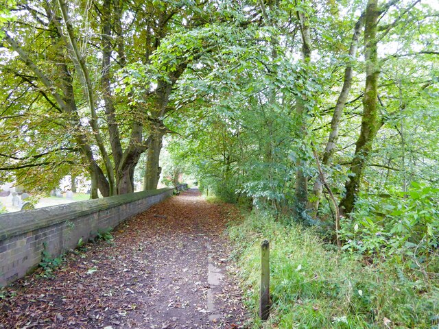
Image: © Kevin Waterhouse Taken: 16 Sep 2023
At Ringley with the wall of the grounds of St Saviour's Church to the left in this view. The canal was the Manchester, Bolton & Bury and in this path used by the Rotary Way the towpath edge stones can be seen for long sections.
Images are licensed for reuse under creativecommons.org/licenses/by-sa/2.0
Image Location
Latitude
53.543807
Longitude
-2.356857