Grange Street, St Albans
Introduction
The photograph on this page of Grange Street, St Albans by Robin Stott as part of the Geograph project.
The Geograph project started in 2005 with the aim of publishing, organising and preserving representative images for every square kilometre of Great Britain, Ireland and the Isle of Man.

There are currently over 7.5m images from over 14,400 individuals and you can help contribute to the project by visiting https://www.geograph.org.uk
Grange Street, St Albans
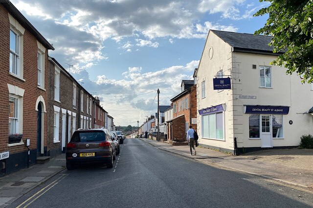
Image: © Robin Stott Taken: 21 Jun 2023
Grange Street runs northwest from St Peter's Street. It is mainly residential. Out of shot left is Church Street. To the right is D'Ennis Court (the spelling on the street nameplate), a short residential close. The town occupies an eminence. Here on its western side the land falls away to the valley of the Ver; ahead, this suburban street turns downhill. Early evening, June. Photo number 7602711.
Images are licensed for reuse under creativecommons.org/licenses/by-sa/2.0
Image Location
Latitude
51.757473
Longitude
-0.336828