Vale of Aylesbury north of North Marston
Introduction
The photograph on this page of Vale of Aylesbury north of North Marston by David Kemp as part of the Geograph project.
The Geograph project started in 2005 with the aim of publishing, organising and preserving representative images for every square kilometre of Great Britain, Ireland and the Isle of Man.

There are currently over 7.5m images from over 14,400 individuals and you can help contribute to the project by visiting https://www.geograph.org.uk
Vale of Aylesbury north of North Marston
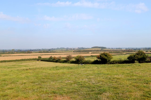
Image: © David Kemp Taken: 16 Sep 2023
Taken from the Outer Aylesbury Ring footpath. The tower that can just be made out on the horizon is that of St John Baptist, Granborough. It was country like this the Metropolitan Railway probably sought to suburbanise when they built their long-closed line from Quainton Road to Verney Junction.
Images are licensed for reuse under creativecommons.org/licenses/by-sa/2.0
Image Location
Latitude
51.899976
Longitude
-0.893048