Nithsdale Street
Introduction
The photograph on this page of Nithsdale Street by Richard Sutcliffe as part of the Geograph project.
The Geograph project started in 2005 with the aim of publishing, organising and preserving representative images for every square kilometre of Great Britain, Ireland and the Isle of Man.

There are currently over 7.5m images from over 14,400 individuals and you can help contribute to the project by visiting https://www.geograph.org.uk
Nithsdale Street
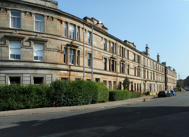
Image: © Richard Sutcliffe Taken: 8 Sep 2023
Category B and C listed buildings https://portal.historicenvironment.scot/designation/LB32391 https://portal.historicenvironment.scot/designation/LB32396 https://portal.historicenvironment.scot/designation/LB32395 on Nithsdale Street.
Images are licensed for reuse under creativecommons.org/licenses/by-sa/2.0
Image Location
Latitude
55.837416
Longitude
-4.271584