Watford: Cassiobury Drive
Introduction
The photograph on this page of Watford: Cassiobury Drive by Nigel Cox as part of the Geograph project.
The Geograph project started in 2005 with the aim of publishing, organising and preserving representative images for every square kilometre of Great Britain, Ireland and the Isle of Man.

There are currently over 7.5m images from over 14,400 individuals and you can help contribute to the project by visiting https://www.geograph.org.uk
Watford: Cassiobury Drive
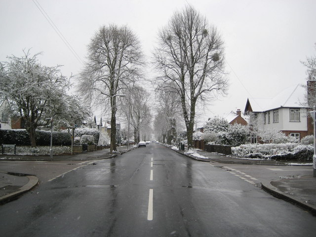
Image: © Nigel Cox Taken: 6 Apr 2008
Cassiobury Drive is the main road through the Cassiobury Estate, which was developed for housing in the parkland of the former Cassiobury House. The Cassiobury Estate was originally owned by the Earls of Essex, but, after the death of the 6th Earl in 1892, it was gradually sold off on a piecemeal basis during the early 20th century, Cassiobury House itself being finally demolished in 1927. This view of Cassiobury Drive, looking towards Watford town centre, was taken at the junction with The Gardens on the briefly snowy morning of 6 April 2008.
Images are licensed for reuse under creativecommons.org/licenses/by-sa/2.0
Image Location
Latitude
51.663782
Longitude
-0.415305