Oakleaze Farm
Introduction
The photograph on this page of Oakleaze Farm by Roger May as part of the Geograph project.
The Geograph project started in 2005 with the aim of publishing, organising and preserving representative images for every square kilometre of Great Britain, Ireland and the Isle of Man.

There are currently over 7.5m images from over 14,400 individuals and you can help contribute to the project by visiting https://www.geograph.org.uk
Oakleaze Farm
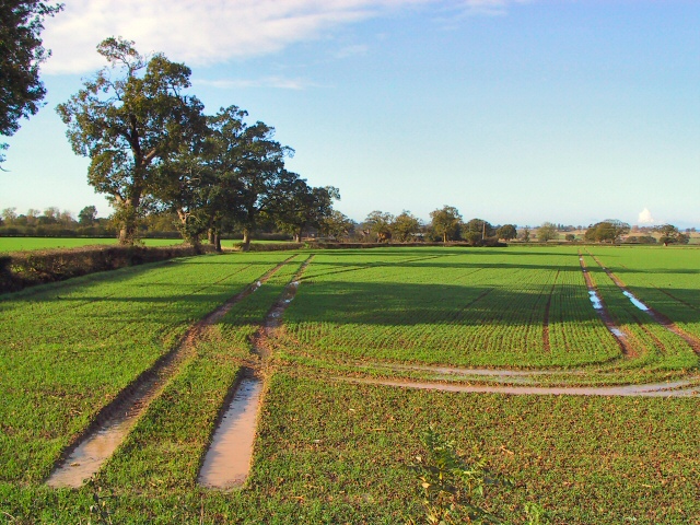
Image: © Roger May Taken: 9 Nov 2005
Waterlogged fields by the A38 at Chapel Hill. The winter wheat should thrive in the sunny and humid conditions prevailing (early November) if it doesn't drown first. The sharp-eyed may be able to pick out the Oakleaze Farm buildings amongst the trees in the centre of the picture.
Images are licensed for reuse under creativecommons.org/licenses/by-sa/2.0
Image Location
Latitude
51.672742
Longitude
-2.44101