A depleted Monmouthshire & Brecon Canal
Introduction
The photograph on this page of A depleted Monmouthshire & Brecon Canal by Alan Bowring as part of the Geograph project.
The Geograph project started in 2005 with the aim of publishing, organising and preserving representative images for every square kilometre of Great Britain, Ireland and the Isle of Man.

There are currently over 7.5m images from over 14,400 individuals and you can help contribute to the project by visiting https://www.geograph.org.uk
A depleted Monmouthshire & Brecon Canal
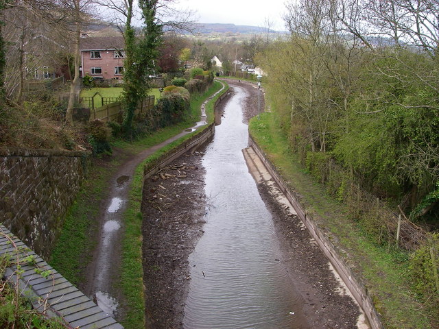
Image: © Alan Bowring Taken: 11 Apr 2008
Whilst British Waterways completes repairs and further survey work on the central section of this waterway, the canal through Govilon remains un-navigable other than by ducks.
Images are licensed for reuse under creativecommons.org/licenses/by-sa/2.0
Image Location


Leaflet Map data © OpenStreetMap
Latitude
51.8172
Longitude
-3.063772