Bus stop, Crown Point, West Norwood
Introduction
The photograph on this page of Bus stop, Crown Point, West Norwood by Robin Stott as part of the Geograph project.
The Geograph project started in 2005 with the aim of publishing, organising and preserving representative images for every square kilometre of Great Britain, Ireland and the Isle of Man.

There are currently over 7.5m images from over 14,400 individuals and you can help contribute to the project by visiting https://www.geograph.org.uk
Bus stop, Crown Point, West Norwood
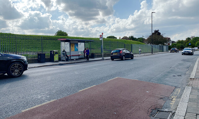
Image: © Robin Stott Taken: 2 Sep 2023
Crown Point seems to refer to the junction (behind the camera) of Beulah Hill/Knight's Hill and Crown Lane (pictured). The green mound behind the bus stop says "reservoir": an old map confirms it and that it was the site of Lambeth Water Works. Photo number 7590287.
Images are licensed for reuse under creativecommons.org/licenses/by-sa/2.0
Image Location
Latitude
51.422727
Longitude
-0.107799