Saffron Walden: Whiteshot Way
Introduction
The photograph on this page of Saffron Walden: Whiteshot Way by John Sutton as part of the Geograph project.
The Geograph project started in 2005 with the aim of publishing, organising and preserving representative images for every square kilometre of Great Britain, Ireland and the Isle of Man.

There are currently over 7.5m images from over 14,400 individuals and you can help contribute to the project by visiting https://www.geograph.org.uk
Saffron Walden: Whiteshot Way
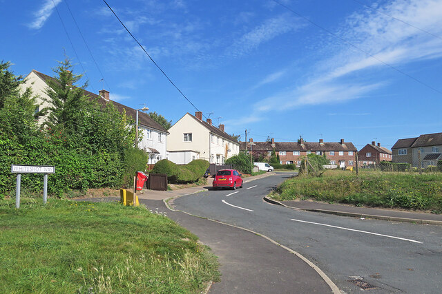
Image: © John Sutton Taken: 5 Sep 2023
Council-built houses off Ashdon Road near the eastern edge of the town.
Images are licensed for reuse under creativecommons.org/licenses/by-sa/2.0
Image Location
Latitude
52.026442
Longitude
0.256203