Gruggies Burn
Introduction
The photograph on this page of Gruggies Burn by Richard Sutcliffe as part of the Geograph project.
The Geograph project started in 2005 with the aim of publishing, organising and preserving representative images for every square kilometre of Great Britain, Ireland and the Isle of Man.

There are currently over 7.5m images from over 14,400 individuals and you can help contribute to the project by visiting https://www.geograph.org.uk
Gruggies Burn
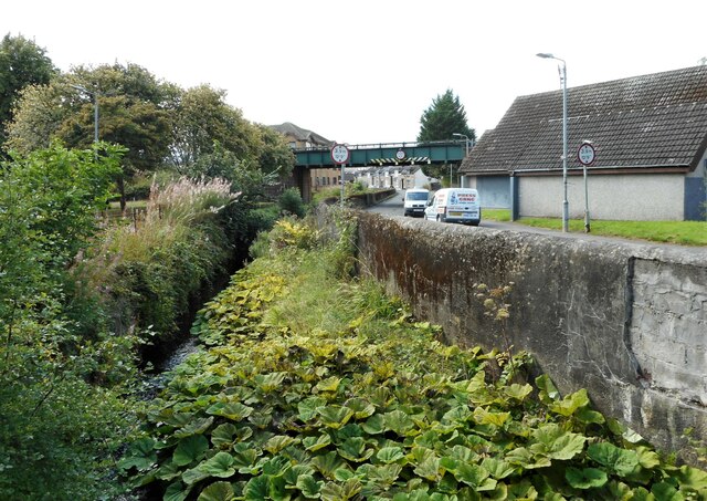
Image: © Richard Sutcliffe Taken: 1 Sep 2023
The burn runs beside Buchanan Street before both pass under the railway line just south of Dumbarton East Station. A large patch of butterbur is growing in the foreground.
Images are licensed for reuse under creativecommons.org/licenses/by-sa/2.0
Image Location
Latitude
55.941454
Longitude
-4.553284