View to Honey Hill from the Waskerley Way
Introduction
The photograph on this page of View to Honey Hill from the Waskerley Way by Robert Graham as part of the Geograph project.
The Geograph project started in 2005 with the aim of publishing, organising and preserving representative images for every square kilometre of Great Britain, Ireland and the Isle of Man.

There are currently over 7.5m images from over 14,400 individuals and you can help contribute to the project by visiting https://www.geograph.org.uk
View to Honey Hill from the Waskerley Way
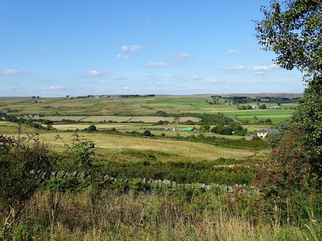
Image: © Robert Graham Taken: 4 Sep 2023
Looking west from the former railway path, which is on an embankment here. Honey Hill on the horizon to the left is the location of the water treatment works for Smiddy Shaw reservoir.
Images are licensed for reuse under creativecommons.org/licenses/by-sa/2.0
Image Location
Latitude
54.816106
Longitude
-1.90349