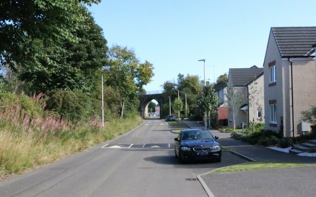
Sappi Road, Markinch
Introduction
The photograph on this page of Sappi Road, Markinch by Bill Kasman as part of the Geograph project.
The Geograph project started in 2005 with the aim of publishing, organising and preserving representative images for every square kilometre of Great Britain, Ireland and the Isle of Man.
There are currently over 7.5m images from over 14,400 individuals and you can help contribute to the project by visiting https://www.geograph.org.uk

Image: © Bill Kasman Taken: 1 Sep 2023
This is Sappi Road - or West Mill Road, depending on which map you consult! The bridge is the old Balbirnie Viaduct, now part of a pedestrian path. Beyond the bridge is the new housing development of West Mill. This road will be the main access road to the development when it is completed. Note: The houses to the right of the image are built on the location of the Balbirnie Paper Mill (from Canmore) which later became Sappi Graphics or Sappi Mill. At the other end of this road there once stood a mill known as West Mill which could account for what seems to be the 'double naming' of this road.

