House in Naunton
Introduction
The photograph on this page of House in Naunton by Philip Halling as part of the Geograph project.
The Geograph project started in 2005 with the aim of publishing, organising and preserving representative images for every square kilometre of Great Britain, Ireland and the Isle of Man.

There are currently over 7.5m images from over 14,400 individuals and you can help contribute to the project by visiting https://www.geograph.org.uk
House in Naunton
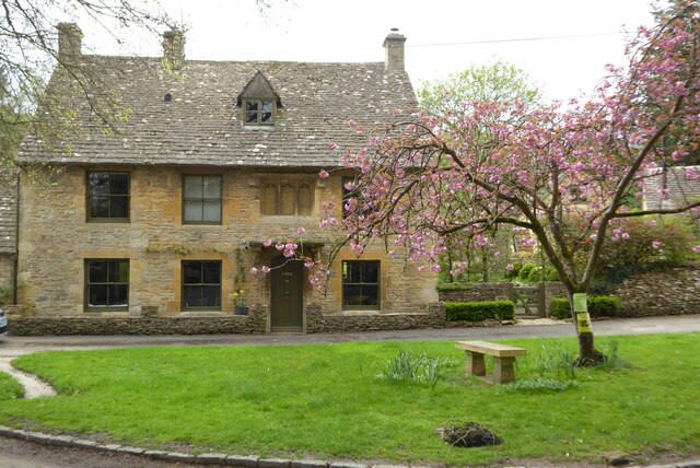
Image: © Philip Halling Taken: 29 Apr 2023
This Cotswold stone-built house near the church in Naunton is Grade II listed https://historicengland.org.uk/listing/the-list/list-entry/1341074?section=official-list-entry and thought to date from around 1500.
Images are licensed for reuse under creativecommons.org/licenses/by-sa/2.0
Image Location
Latitude
51.909023
Longitude
-1.837434