Chancery Lane, Thrapston
Introduction
The photograph on this page of Chancery Lane, Thrapston by Des Blenkinsopp as part of the Geograph project.
The Geograph project started in 2005 with the aim of publishing, organising and preserving representative images for every square kilometre of Great Britain, Ireland and the Isle of Man.

There are currently over 7.5m images from over 14,400 individuals and you can help contribute to the project by visiting https://www.geograph.org.uk
Chancery Lane, Thrapston
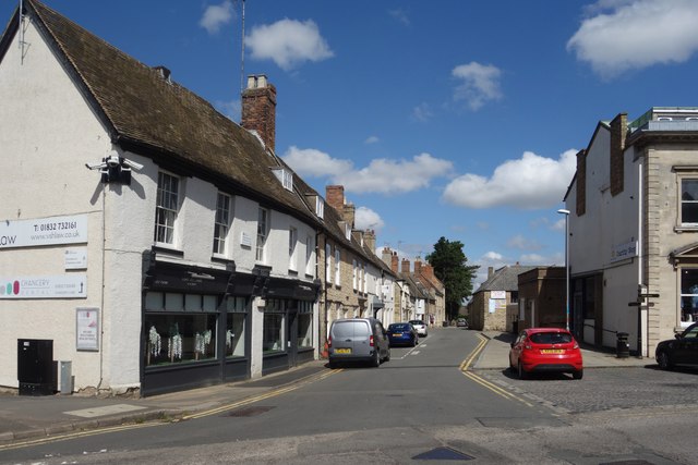
Image: © Des Blenkinsopp Taken: 17 Aug 2023
A minor road in the town centre. The name is a well known one, no doubt because of Chancery Lane station on the London Underground, but what does Chancery mean? It seems to get quite complex when you start looking at stuff about courts of law, but it can also mean something like a Public Record Office, which is probably the most likely explanation here.
Images are licensed for reuse under creativecommons.org/licenses/by-sa/2.0
Image Location
Latitude
52.397447
Longitude
-0.53775