The end of the water - for now
Introduction
The photograph on this page of The end of the water - for now by Dr Neil Clifton as part of the Geograph project.
The Geograph project started in 2005 with the aim of publishing, organising and preserving representative images for every square kilometre of Great Britain, Ireland and the Isle of Man.

There are currently over 7.5m images from over 14,400 individuals and you can help contribute to the project by visiting https://www.geograph.org.uk
The end of the water - for now
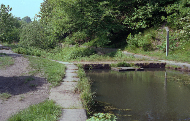
Image: © Dr Neil Clifton Taken: 26 May 1992
In 1992 as at present, the Manchester Bolton and Bury Canal was dewatered west of this point.
Images are licensed for reuse under creativecommons.org/licenses/by-sa/2.0
Image Location
Latitude
53.555195
Longitude
-2.365859