Path near the Wear in Low Burnhall
Introduction
The photograph on this page of Path near the Wear in Low Burnhall by DS Pugh as part of the Geograph project.
The Geograph project started in 2005 with the aim of publishing, organising and preserving representative images for every square kilometre of Great Britain, Ireland and the Isle of Man.

There are currently over 7.5m images from over 14,400 individuals and you can help contribute to the project by visiting https://www.geograph.org.uk
Path near the Wear in Low Burnhall
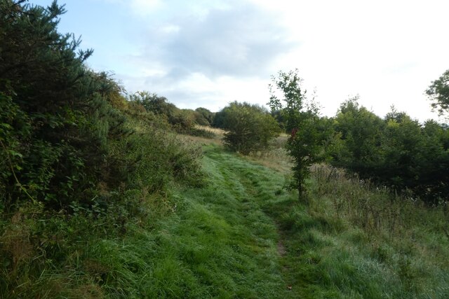
Image: © DS Pugh Taken: 25 Aug 2023
Low Burnhall is a Woodland Trust site to the south of Durham.
Images are licensed for reuse under creativecommons.org/licenses/by-sa/2.0
Image Location
Latitude
54.750014
Longitude
-1.585006