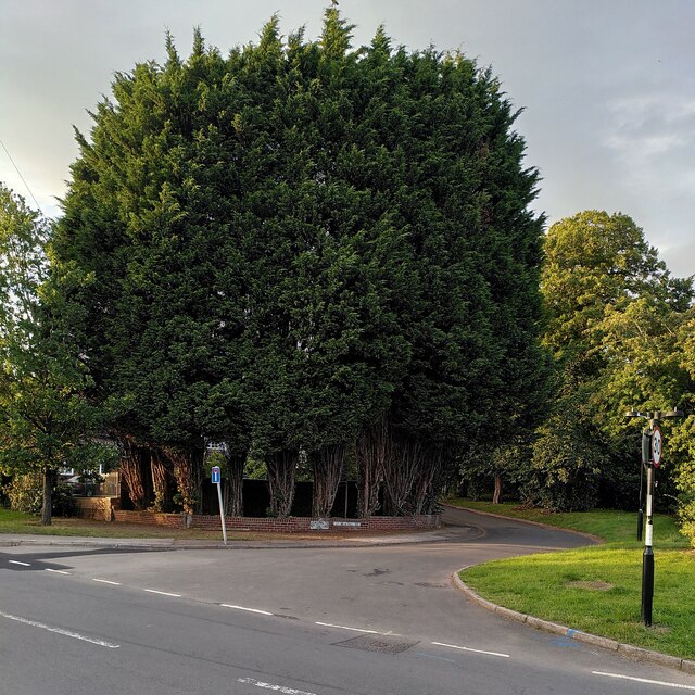
The Streisand Effect
Introduction
The photograph on this page of The Streisand Effect by A J Paxton as part of the Geograph project.
The Geograph project started in 2005 with the aim of publishing, organising and preserving representative images for every square kilometre of Great Britain, Ireland and the Isle of Man.
There are currently over 7.5m images from over 14,400 individuals and you can help contribute to the project by visiting https://www.geograph.org.uk

Image: © A J Paxton Taken: 19 Aug 2023
Planting a screen of fast-growing leylandii trees to screen the garden serves to draw attention to it and makes passers-by wonder what lies beyond. This is an example of the Streisand Effect, named after Barbra Streisand's attempts to have an aerial photo of her clifftop California mansion removed from a website documenting coastal erosion, attempts which had the perverse effect of publicising the photo. The hedge can be seen at the junction of Green Lane and St Martin's Road, on the southern tip of Coventry. On the Streisand Effect see Wikipedia https://en.m.wikipedia.org/wiki/Streisand_effect .

