Higher Ramshill Lane
Introduction
The photograph on this page of Higher Ramshill Lane by Derek Harper as part of the Geograph project.
The Geograph project started in 2005 with the aim of publishing, organising and preserving representative images for every square kilometre of Great Britain, Ireland and the Isle of Man.

There are currently over 7.5m images from over 14,400 individuals and you can help contribute to the project by visiting https://www.geograph.org.uk
Higher Ramshill Lane
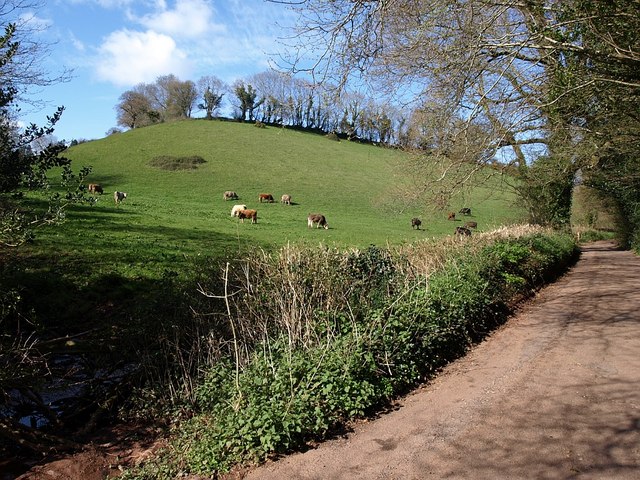
Image: © Derek Harper Taken: 5 Apr 2008
Another view of Image, this time with the lane climbing the bottom of the valley towards Cruel Cross. The small streams running down the main Westerland valley and the side valley on the left meet at lower left of the photo.
Images are licensed for reuse under creativecommons.org/licenses/by-sa/2.0
Image Location
Latitude
50.444433
Longitude
-3.597731