Knapp Lane, Medstead
Introduction
The photograph on this page of Knapp Lane, Medstead by Christine Johnstone as part of the Geograph project.
The Geograph project started in 2005 with the aim of publishing, organising and preserving representative images for every square kilometre of Great Britain, Ireland and the Isle of Man.

There are currently over 7.5m images from over 14,400 individuals and you can help contribute to the project by visiting https://www.geograph.org.uk
Knapp Lane, Medstead
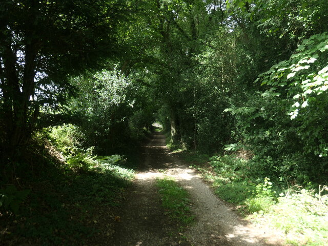
Image: © Christine Johnstone Taken: 21 Aug 2023
A public footpath on a track leading to an area once known as Prior's Nap. This patch of woodland appears to be access land.
Images are licensed for reuse under creativecommons.org/licenses/by-sa/2.0
Image Location
Latitude
51.11834
Longitude
-1.060133