Whittlesford Pit
Introduction
The photograph on this page of Whittlesford Pit by Keith Edkins as part of the Geograph project.
The Geograph project started in 2005 with the aim of publishing, organising and preserving representative images for every square kilometre of Great Britain, Ireland and the Isle of Man.

There are currently over 7.5m images from over 14,400 individuals and you can help contribute to the project by visiting https://www.geograph.org.uk
Whittlesford Pit
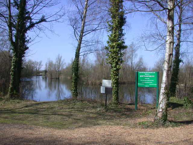
Image: © Keith Edkins Taken: 9 Apr 2008
Private for the use of members of Saffron Walden Angling Club only.
Images are licensed for reuse under creativecommons.org/licenses/by-sa/2.0
Image Location


Leaflet Map data © OpenStreetMap
Latitude
52.123367
Longitude
0.13619